
Making a design visible in its surroundings
ESMERO captured the Wirtheim site from the air for terranets bw and integrated a planned building into a three-dimensional model of its surroundings. The completed project combines drone imagery, photogrammetry and an interactive browser-based view.
Client
terranets bw GmbH
Location
Biebergemünd-Wirtheim, Germany
Project year
2026 · completed
Services
Drone capture, photogrammetry, 3D model preparation, building integration and web visualisation

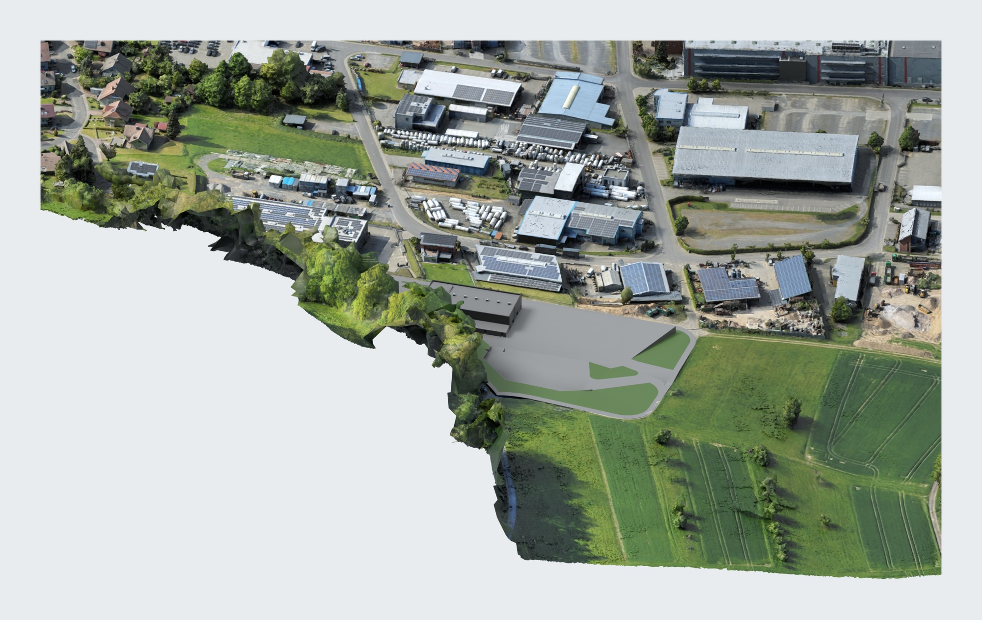
Planning visualisation: the proposed building and external works within the captured terrain.
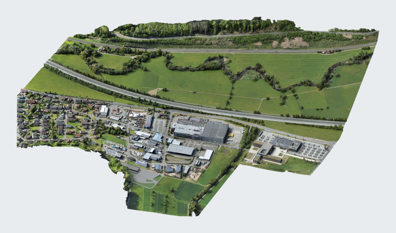
Overview of the 3D landscape model created from drone imagery.
The task: show the design in its surroundings
A building model describes a design. Its relationship with the surroundings becomes clearer when terrain, vegetation and neighbouring buildings are shown together. The Wirtheim project brought these elements into a shared 3D view.
The client’s planning model and ESMERO’s aerial imagery provided the starting point. The resulting scene makes it possible to view the planned building within the landscape from different directions.
From flight to completed 3D scene
01 · Capture
Plan the flight and capture the site with overlapping drone imagery.
02 · Reconstruct
Process the aerial images into a textured 3D model using photogrammetry.
03 · Integrate
Prepare the building model and show it within its surroundings.
From aerial images to a terrain model
ESMERO planned the capture and carried out the drone flights on site. The overlapping images were processed using photogrammetry to create a textured 3D model of the captured area. It represents the visible surfaces of the terrain, vegetation and existing buildings.
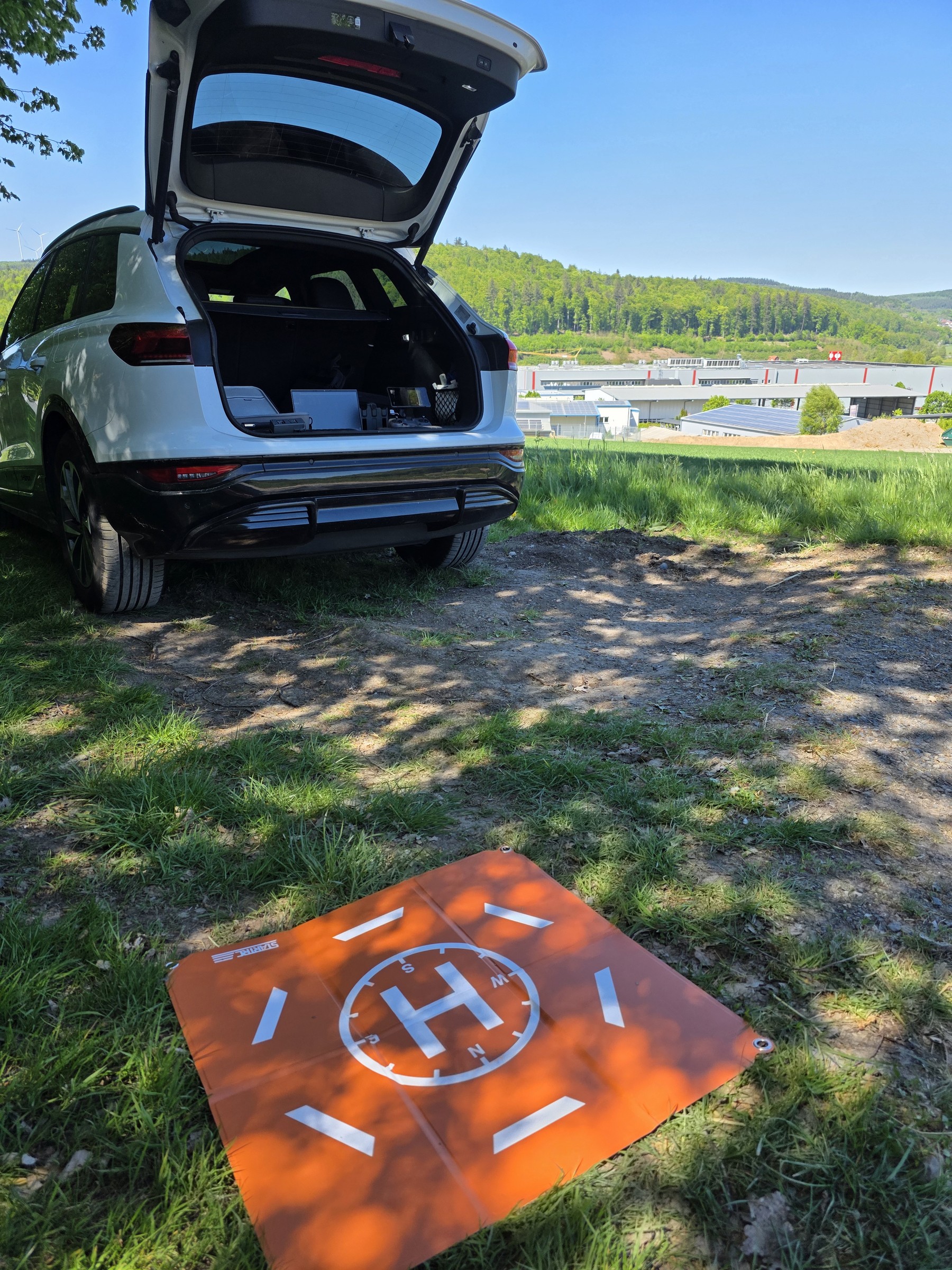
On site in Wirtheim: the launch area and mobile equipment for drone capture.
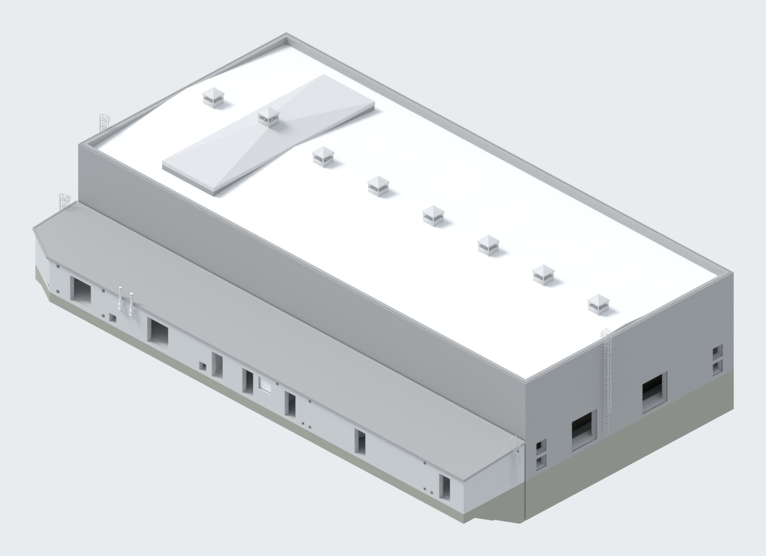
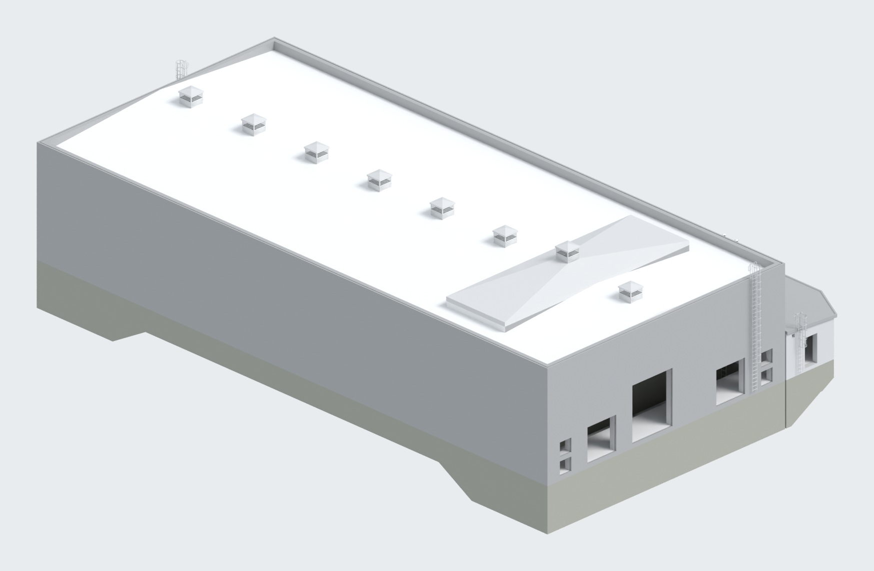
The planned building shown separately from the prepared project scene.
Integrating the client’s building model
The supplied building model was prepared for the combined scene and placed within the landscape model. Building form, terrain and surroundings can therefore be viewed together. Different perspectives support visual assessment and discussion of the design.
Planning visualisation, not a photograph of a completed new building.
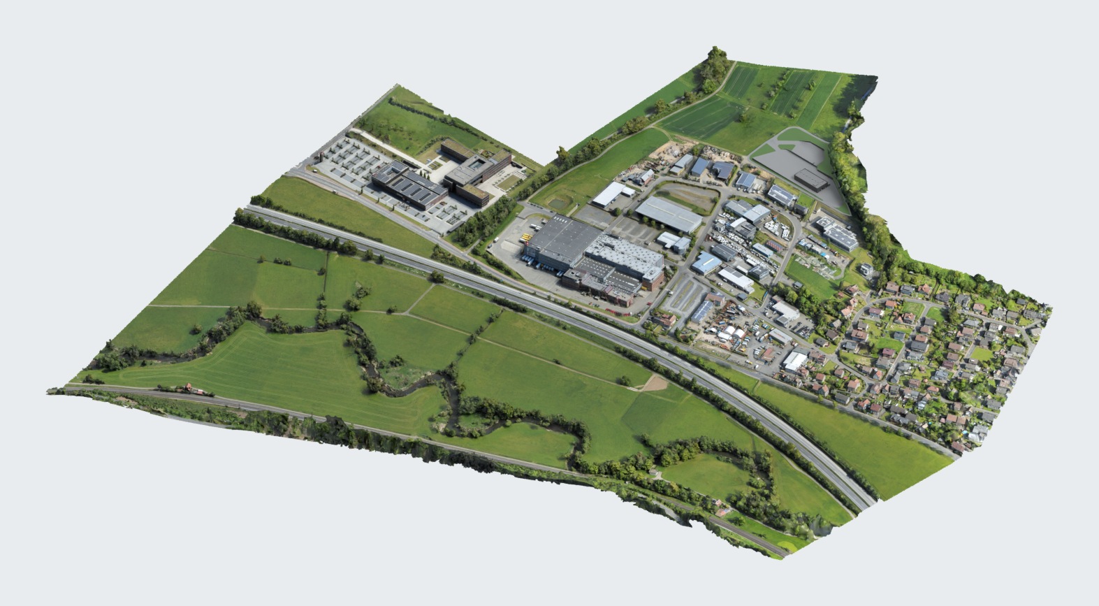

The result: one scene, multiple viewpoints
The completed scope includes the prepared 3D scene, views for project communication and browser-based exploration. Users can move freely around the model and switch between saved viewpoints.
The value lies in seeing existing surroundings and the planned building together. Project participants can understand spatial relationships and discuss specific perspectives. The visualisation supports communication; it does not replace detailed engineering design.
Our project report follows the work on site and the process from drone flight to 3D view.
Need to capture a site or show a planned building in context? Talk to ESMERO about your project.